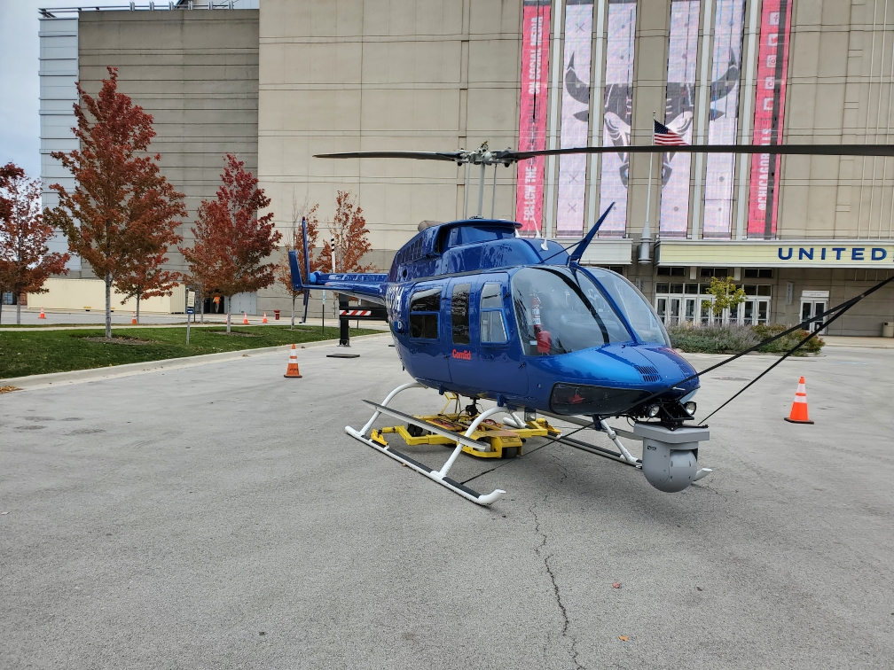
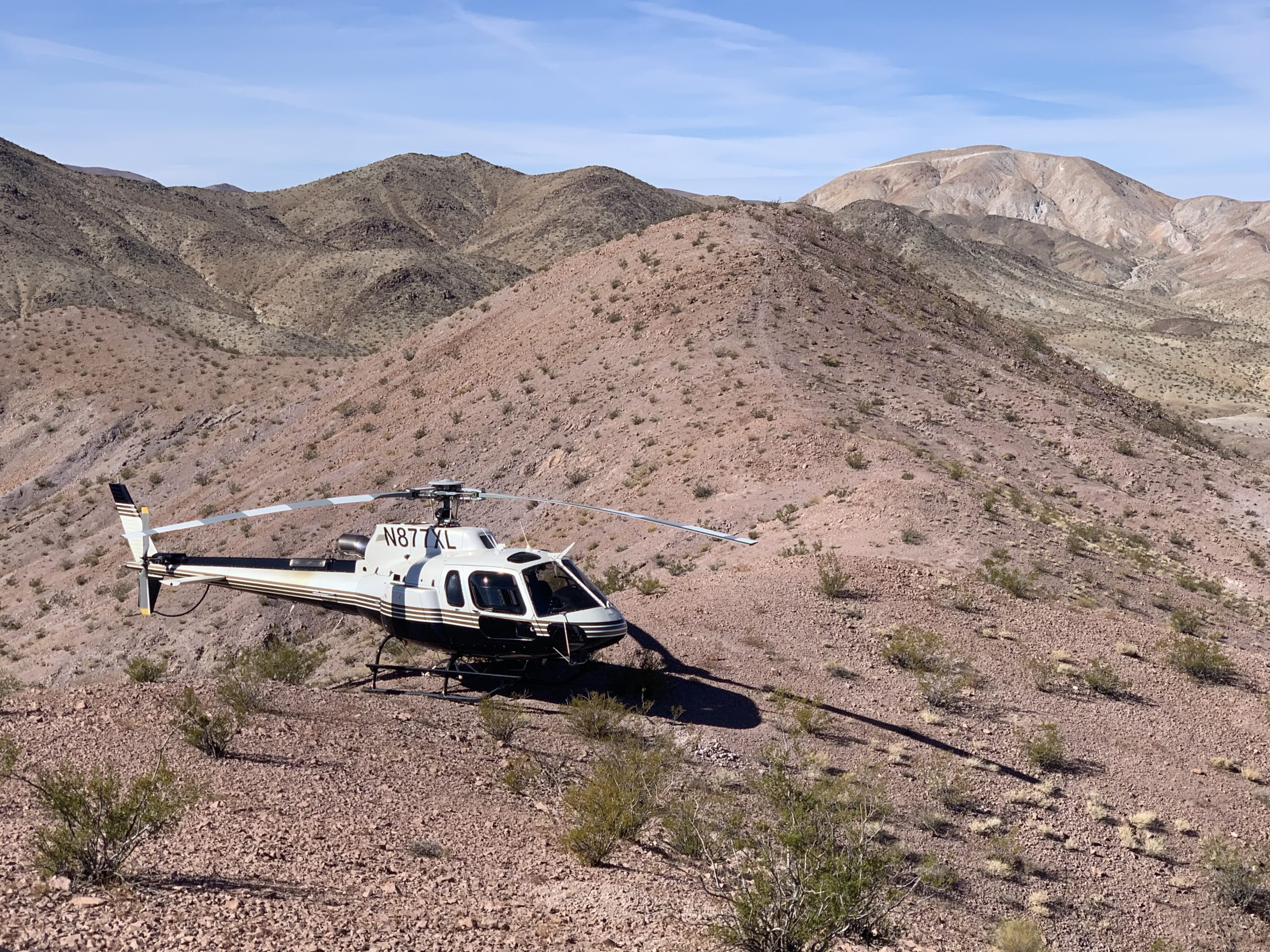
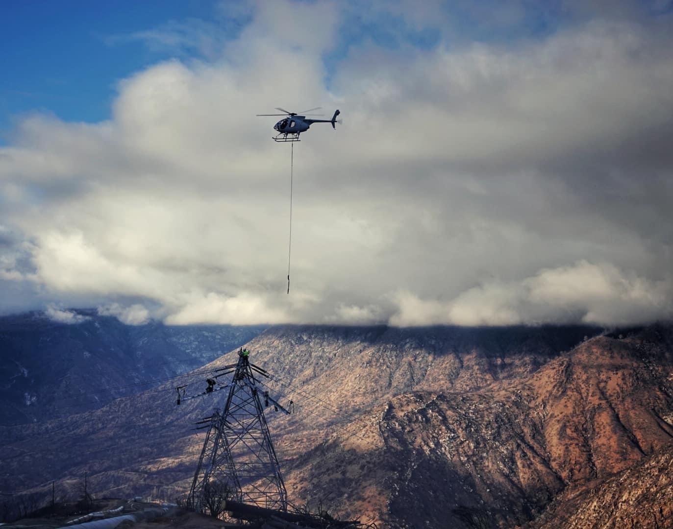
The combination of flexibility, speed, and technology makes Rogers Helicopters, Inc. an ideal solution for aerial survey and mapping.
- Flexibility: Helicopters are highly maneuverable, which makes it possible to fly at low altitudes and over challenging terrain. This allows for the collection of detailed aerial images and data that would be difficult or impossible to obtain from a fixed-wing aircraft or satellite.
- Speed: Helicopters can fly at relatively fast speeds compared to other aerial survey platforms, which means that large areas can be covered in a relatively short amount of time.
- Equipment: Modern helicopters can be equipped with a variety of sensors and mapping technologies, including high-resolution cameras, LiDAR systems, and GPS receivers, which allow for the collection of high-quality aerial data.
- Safety: In some cases, flying a helicopter can be safer than flying a fixed-wing aircraft, especially when surveying areas with difficult terrain or obstacles.
- Cost: While helicopters can be more expensive to operate than fixed-wing aircraft, they can also be more cost-effective in certain situations, such as when surveying small or complex areas that would be difficult or time-consuming to survey by other means.